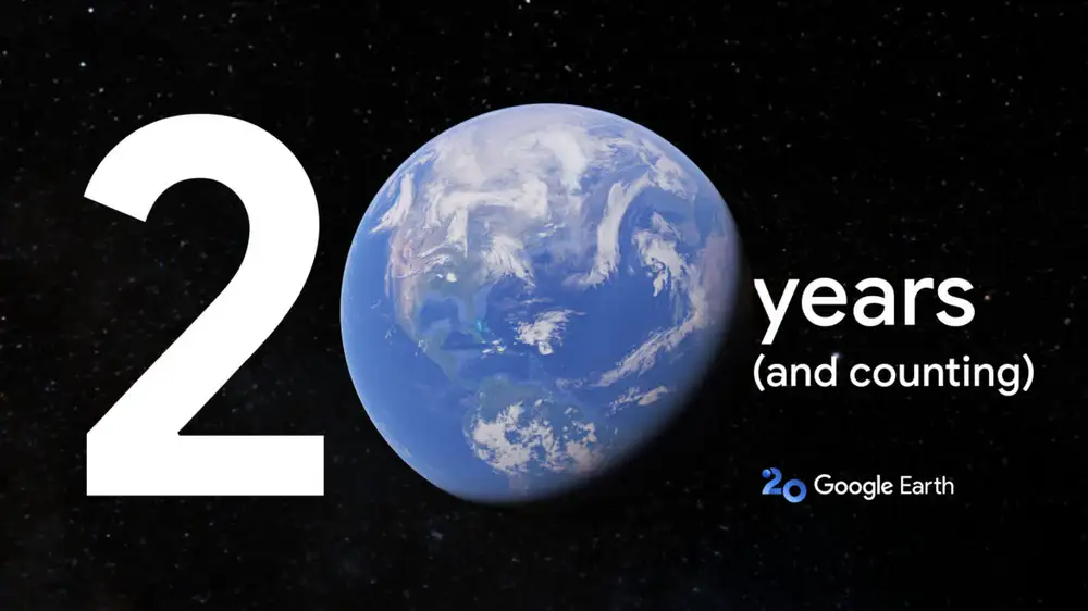
After 20 years, being able to look at any corner of the planet in Google Earth doesn't seem that impressive, but it was a revolution in 2005. Google Earth has gone through a lot of changes in that time, and Google has some more lined up for the service's 20th anniversary. Soon, Google Earth will help you travel back in time with historic Street View integration, and pro users will get some new "AI-driven insights"—of course Google can't update a product without adding at least a little AI.
Google Earth began its life as a clunky desktop client, but that didn't stop it from being downloaded 100 million times in the first week. Today, Google Earth is available on the web, in mobile apps, and in the Google Earth Pro desktop app. However you access Earth, you'll find a blast from the past.
For the service's 20th anniversary, Google was inspired by a social media trend from last year in which people shared historic images of locations in Google Maps. Now, Google Earth is getting a "time travel" interface where you can see historic Street View images from almost any location.
While this part isn't new, Google is also using the 20th anniversary as an opportunity to surface its 3D timelapse feature. These animations use satellite data to show how an area has changed from a higher vantage point. They're just as cool as when they were announced in 2021.
The AI features are launching in the coming weeks in Google Earth Professional, which has been free for the last decade (it used to cost $399 per year). You can download the desktop client for Windows, Mac, or Linux if you have more advanced needs, like GIS importing, high-resolution printing, and an even wider selection of historic imagery.
If you use that version of Earth, you should have access to a collection of so-called "AI-driven insights." For instance, you can find the average surface temperature or tree canopy coverage in a given area. This could be of help in urban planning or construction, but it's unclear how many of these insights the app will have. Google says the AI angle here is that the new layers use machine learning to categorize pixels. It's possible Google has just reached the "AI as a buzzword" stage.
Regardless, even if Google Earth isn't as jaw-dropping as it was in 2005, it's still objectively remarkable that we can see the entire surface of the Earth in high-resolution on a whim. The ease with which anyone can scour the globe has helped scientists discover caves full of fossils and new coral reefs. There's plenty of opportunity for more discoveries—Google says Google Earth has seen more than 2 billion searches in the past year.
 TIM, l'Assemblea approva il bilancio 2024 e i nuovi piani di incentivazione